[Workshop 1A] Drones: from Theory to Application
Room A, 1st Floor, Conference Hall Annex, Sultan Qaboos University
Prof. Mohamed Djemai, University of Valenciennes et Hainaut-Cambrésis, Franc and Dr. Rabie Ben Atitallah, University of Galatasaray, Computer Science Department, Turkey[Workshop 2A] Motion Control of Biomimetic Autonomous Underwater Vehicles
Room B, 1st Floor, Conference Hall Annex, Sultan Qaboos University
Prof. Ahmed Chemori, LIRMM-CNRS/University of Montpellier, FranceLunch and Prayer
Faculty Club Restaurant
[Workshop 1B]: Autonomous Platforms, Wireless Communication Networks and Field-Programmable Gate Array (FPGA) for UVSs
Room A, 1st Floor, Conference Hall Annex, Sultan Qaboos University
Dr. K.M Goher, Dr. S. Srivastava, Dr. E. Nurellari, University of Lincoln, UK[Workshop 2B]: OpenDroneMap, the beginner's guide
Room B, 1st Floor, Conference Hall Annex, Sultan Qaboos University
Stephen V. Mather, GIS Manager, Cleveland Metroparks, USA, Pixel Shepherd & Direct Interhuman Pixel Transfusion @ OpenDroneMap[Tutorial 1]: A tutorial on ROS, “Robot Operating System”
Geomatics Engineering Lab, College of Engineering Building, Block C, Ground Floor
Prof. Anis Koubaa , Prince Sultan University, Kingdom of Saudi ArabiaLunch and Prayer
Faculty Club Restaurant
Registration
Recitation of Holy Quraan
SQU Address: Prof Amer Al Rawas, Deputy Vice Chancellor for AACS
Welcome Address by Prof Hadj Bourdoucen, the General Chair
Keynote Address: Unmanned Vehicle Systems – Opportunity and Threat
Unmanned Vehicles are part of our lives and yet their true potential is yet to be realised. The presentation will consider many benefits that UVS bring, from saving lives to defending our shores, from delivering scientific understanding to delivering goods. Many different applications will be illustrated to demonstrate versatility, and ideas for future use considered. A particular focus will be given to UAVs and their collection and management of vast quantities of remote sensed data, drawing upon Ordnance Survey experience. Equally, we are seeing much cross-over with automation and the internet of things, and a realisation of the importance of laws and policies need to regulate UVS. Looking to the future, the next generation of UVS, High Altitude Platforms, provide further opportunity for governments and businesses, whether in defence, communications, mapping or disaster response.
John Kedar FInstRE, FRGS, CGeog(GIS), Director International Engagement, Ordnance Survey, UKOpening of Exhibition
Tea/Coffee Break
[Invited Talk] Unmanned Aerial Systems (UAS’s) Deployments in PDO: Current Applications & Future Replications
The Unmanned Aerial Systems (UAS) technology has been playing an increasingly important role in Petroleum Development Oman (PDO) business. It has given PDO a technological edge over traditional ways.
PDO has been using different types of multi-rotor and short range fixed wing battery operated UAS’s for a variety of applications such as; surveying & mapping, asset inspections, flare tip inspections, engineering progress monitoring, emergency response, locations overviews, high resolution/3D photogrammetry, support for engineering design and planning and outcrops mapping.
It is important to note that the associated different types of sensors in use by these systems creates huge amount of information that help to make the right decision at the right time and plan appropriate course of remedial action.
Having seen the added value this technology brings to the business, PDO is now looking at extending the service to be part of the portfolio of instruments survey crews use in the field for their day to day work.
Besides having fast and accurate collected data, high resolution geo-referenced aerial images, the users are now focusing their energy on making use of the data analysis rather than worrying about acquiring it.
The paper will also shed light on the solutions driven from these applications, highlight challenges faced, and summarize the business value providing insights on the processes from acquisition, to processing and finally publishing. A good testimony of “Acquire once, use many times” philosophy. An attempt to provide a future outlook on the recent development in this area will also be highlighted.
[Invited Talk] Recent Advances in Control of Underwater Vehicles: From Inspection to Manipulation
Underwater vehicles have gained a widespread interest in the last decades, from various research communities (design, actuation, communication, perception, modelling, navigation, control, etc), given the multiple tasks they can accomplish. Their applications are multiple and various in different fields such as dams’ inspection, oil and gas offshore industry, fish farms, wind parks, hydroelectric power stations, underwater archeology, ocean cartography, air crash and environmental investigations, etc.
However, a new set of applications is more and more emerging, and demanding intervention capabilities, such as maintenance tasks in submerged offshore infrastructures, cabled sensor networks, pipelines, etc. These tasks are nowadays addressed using manned submersibles (called also work-class ROVs), equipped with teleoperated manipulators. When the vehicle is intended to perform intervention tasks, it should mainly be equipped with a manipulator arm. The augmented vehicle is then called Underwater Vehicle Manipulator System (UVMS). Whatever the application in underwater inspection or intervention, the development of control strategies is one of the main research topics in this field. Although, control of underwater vehicles is a thoroughly investigated subject, it remains an open research problem, especially for autonomous intervention tasks and more for coordination intervention tasks. One of the important challenging issues in the control of UVMS is how to exploit and coordinate their degrees of freedom to accomplish the required task.
This talk will be focused on control challenges of underwater vehicles for inspection and manipulation tasks. The proposed control solutions will then be presented and illustrated through real-time experiments on different underwater vehicles.
[Invited Talk] Policy for obtaining Security Clearance for Aerial Photographs & UAV within Oman
The drones become prominent in our daily life. It started to be used widely in an accelerating pace. The National Survey Authority plays an important role in this sense as part of its responsibilities and roles. It gives permissions for the aerial photography and provide security observer during the process of photography.
Lt. Col. Yusuf Al-Nabhani, SO1 Geographic Place Names, National Survey Authority, OmanLunch and Prayer
Faculty Club Annex
[Invited Talk] Future Mobility – Moving Humanity Forward
As leaders in the future mobility space, General Motors is excited to join the first ever Unmanned Systems Conference at Sultan Qaboos University, and engage in an in-depth discussion with academics, fellow industry actors and the creative minds of the next generation of STEM leaders. Delivered as a keynote address of GM’s development across the four trends changing mobility – autonomous vehicles, alternative propulsion and connected and sharing, the presentation will act as a platform and will drive greater discussion with participants and entities at the conference on current adoption and timelines for alternative propulsion, regulation requirements and partnerships for consumer awareness and education as well as industry movement in mobility and its role in solutions for real-life challenges across climate, access and safety.
Gary D West, Head of Future Mobility, Africa & Middle East, General MotorsAutomatic Fault Detection of Power Lines using UAV
Car Detection using Unmanned Aerial Vehicles: Comparison between Faster R-CNN and YOLOv3
GPU-based Concurrent Multi-UAVs Path Flow Analysis using K-MST Algorithm
Design and Implementation of an Unmanned Surface Vehicle for Oil Spill Handling
Drone Hacking with Raspberry-Pi 3 and WiFi Pineapple: Security and Privacy Threats for the Internet-of-Things
An integrated web-based approach for near real-time mission monitoring
A Classification Based Method for Target Detection
Yaw Control of an Unmanned Helicopter with Feedback Linearization
Welcome Remarks
Honoring Guests & Sponsors
Dinner
[Keynote Address] FWIW (For what it's worth): The value of open data, open hardware, and free and open source software to the Unmanned Vehicle Ecosystem
As we seek to facilitate the growth of the UVS sector, the broad vision is toward re-imagining mobility — the mobility of data collection, the mobility of cargo, the mobility of people, with all the requisite affordances that re-imagining mobility provides us. As participants and drivers of this nascent global phenomenon, we have the privilege of observing and guiding the trajectory of the emergence of UVS.
To guide the development toward better outcomes, we can learn from the successes of other technological emergences, with an understanding that open architectures, open source software and data, and open and welcoming communities facilitate better outcomes, more innovation, and better futures in technology than closed approaches.
[Invited Talk] The Drones from Regulatory Aspects
This invited talk will start by addressing the main issues on whether a drone is an aircraft from the regulatory perspective point of view stressing on the important differences between manned aircraft versus drone.
The talk will also present the core issues related to drones according to the International Civil Aviation Organization (ICAO) which is a United Nations Organization responsible for the development of safe navigation that is generally used by pilots and the aviation industry for flight planning. In Oman, the Public Authority for Civil Aviation (PACA) is the body that regulates all aspects of civil aviation activities to be in line with international standards ensuring safety, security and environmental protection. In addition to this role, PACA is doing considerable efforts as a part of global movement to regulate drones activity in Oman. The speaker will also elaborate on the advantages and disadvantages of drones.
[Invited Talk] Common Operation Picture (COP) for Emergency Response and Preparedness
This presentation is going to shed light on the importance of having a Common Operating Picture (COP) for Emergency Response and preparedness. A GIS COP for Emergency Response aims at consolidating efforts from different parties into one common emergency preparedness and response unified web map interface. This interface integrates variety of information from different range of sources providing tailored views to different stakeholders that is centrally controlled by an Incident Command (IC). On a corporate level, setting up the COP for emergency response proves to be indispensible for a focused high level decision making. Geomatics in PDO has been on Duty call for emergency for a long time and now with the new vision of GIS COP for emergency, the GIS participation is going to be more vital for the company.
The GIS role on the Common Operating Picture is to integrate different datasets for the surface features in order to facilitate situational awareness of the geographical place where the emergency response is taking place. This integration of datasets gives a bird view on the emergency situation to the incident command and thus on spot command briefing becomes available.
While Geomatics role on the time of emergency is pivotal, it is actually preceded by data gathering for the entire concession area that PDO Operates. In the data preparation task a number of Geomatics resources and personnel are utilized such as Remote Sensing, Mobile Asset Tracking, Survey operation, and videos and pictures from drones. These are to guide in the real-time analysis, information management and decision making regarding the incidents while they are happening.
By utilizing the GIS COP in PDO, we believe the reaped benefits for PDO as a whole will be invaluable to carry out focused and practical emergency response to incidents that may affect the Oil and Gas business. And now, we are looking forward to advancing our solutions and expertise on COP for emergency by utilizing the power of Portal for ArcGIS and Mobile capabilities by integrating more real-time services and smart analysis.
Tea/Coffee Break
[Invited Talk] ICT Regulatory Aspects of UVS
Unmanned Vehicle Systems (UVS/drones) have been around for years. They are used for different purposes and can be of help in numerous occasions. However, these devices have become more popular in recent times, and their applications increased rapidly in various fields. Because of this, it is essential for countries to have regulations which set the rules for how these systems can operate. Most UVS (drones) need certain amount of wireless communications in order to operate. The presentation aims to clarify the requirements for frequency spectrum and the countries experiences for allocating spectrum bands for various types of UVS. The presentation will also explain the International Telecommunications Union (ITU) role in regulating UVS. The presentation will identify how UVS can be regulated in the Sultanate from telecom regulatory perspective.
Eng. Aisha Abdullah Al-Kalbani, Senior Specialist, Frequency Planning & Strategy Department, TRA, OmanPlenary Session & Concluding Remarks
Veiled Shared key Generation for Intra-Convoy Secret Communication Sessions
UAV Base Station Location Optimization for Next Generation Wireless Networks: Overview and Future Research Directions
Compared and Performance Routing Protocol in Flying Ad-Hoc Network (FANET)
Design, Dynamics Modelling and Control of a H-Shape Multi-rotor System for Indoor Navigation
Parameter Identification of IPM Motor Reduced Order Thermal Model for Traction Applications
Tracking Control of Quadrotor using Generalized Dynamic Inversion with Constant-Proportional Rate Reaching Law
Ethical Design Perspectives of Intelligent UAVs
Incorporating Unmanned Systems Ethics into the Curriculum
Development of Magnetostrictive Harvester for Unmanned Aerial Vehicles (UAV)
Angular Position Control of Twin Rotor MIMO System using Generalized Dynamic Inversion with Switching Surface
Modeling of Unmanned Underwater Vehicle with Rotating Thrusters for Offshore Rig Inspection
Self-Driving Military vehicle using Remote Control Application
Biometric Face Recognition Engine Starter
Development and Optimization of Force-Driven Harvester for Unmanned Aerial Vehicle (UAV)
Agribot: The automatic planting system
Vehicle's Entry and Exit for People with Physical Disabilities
[Workshop 1C] Internet-of-Drones: From Theory to Deployment
ECE Meeting Room, College of Engineering, Block B, 2nd floor
Prof. Anis Koubaa , Prince Sultan University, Kingdom of Saudi Arabia[Tutorials 2] A tutorial on use of Drones for Mapping Application
Seminar Room 223, CoE, Block C, Second Floor
Ms. Khadija Abdulla Ali, UAV pilot and GIS consultant, ZanzibarKeynote Speakers
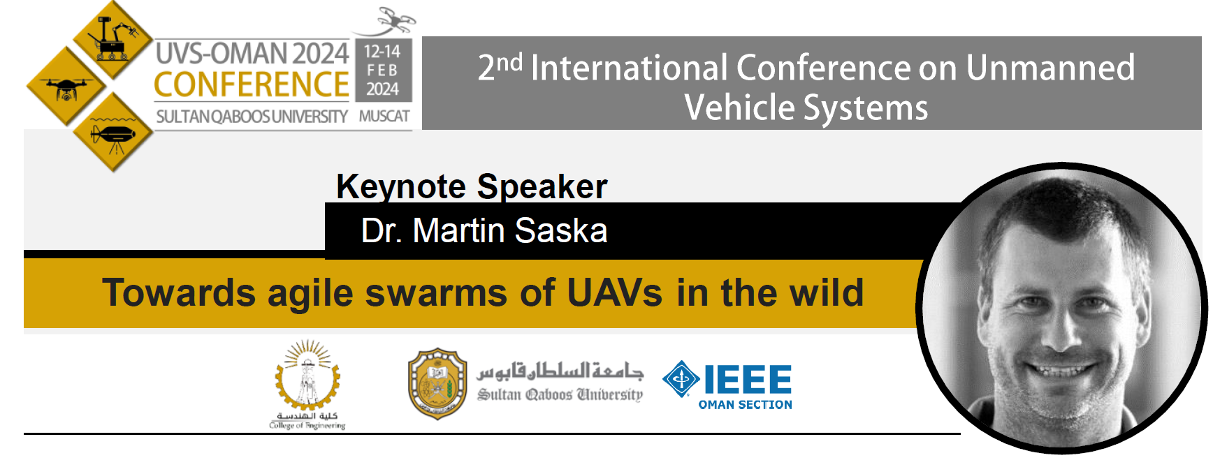
Title: Towards agile swarms of UAVs in the wild
Abstract: Agile and tightly cooperating Micro Aerial Vehicles (MAVs) in demanding real-world environments with high density of obstacles (such as forest) will be discussed in this talk. Deployment of swarms of flying robots without external localization such as GNSS and motion capture systems bring numerous challenges especially if the MAV perception must be done in high speeds and close to the terrain. I will present some insights into the research of fully autonomous, bio-inspired swarms of MAVs relying on onboard artificial intelligence. I will discuss the important research question of whether the MAV swarms can adapt better to localization failure than a single robot and how cooperative aerial vehicles can achieve high agility in high obstacle density areas. In addition to the fundamental swarming research, I will be talking about real applications of multi-robot systems such as indoor documentation of large historical objects (cathedrals) by formations of cooperating MAVs, a cooperative inspection of underground mines inspired by the DARPA SubT competition, localization and interception of unauthorized drones, aerial firefighting, radiation sources localization, power line inspection, and marine teams of cooperating heterogeneous robots.
Bio: Martin Saska received his MSc. degree at the Czech Technical University in Prague, 2005, and his Ph.D. degree at the University of Wuerzburg, Germany, within the PhD program of the Elite Network of Bavaria, 2009. Since 2009 he has been a research fellow at the Czech Technical University in Prague, where he founded and heads the Multi-robot Systems group (http://mrs.felk.cvut.cz/), consisting of 30+ young researchers, and co-founded the Center for Robotics and Autonomous Systems with 50+ researchers cooperating in robotics. He was a visiting scholar at the University of Illinois at Urbana-Champaign, USA, in 2008, and at the University of Pennsylvania, USA, in 2012, 2014, 2016 and 2018, where he worked with Vijay Kumar’s group within the GRASP lab. His team won a multi-UAV challenge in MBZIRC 2017 competition, and his group was part of a team that achieved the 1st place in DARPA SubT 2019 challenge among self-funded teams. He is an author or co-author of more than 100 papers in proceedings of peer-reviewed conferences and more than 20 articles in major journals, including IJRR, AURO, RAL, RAS, ASC or EJC, with more than 2500 citations indexed by Google Scholar (H-index 30).
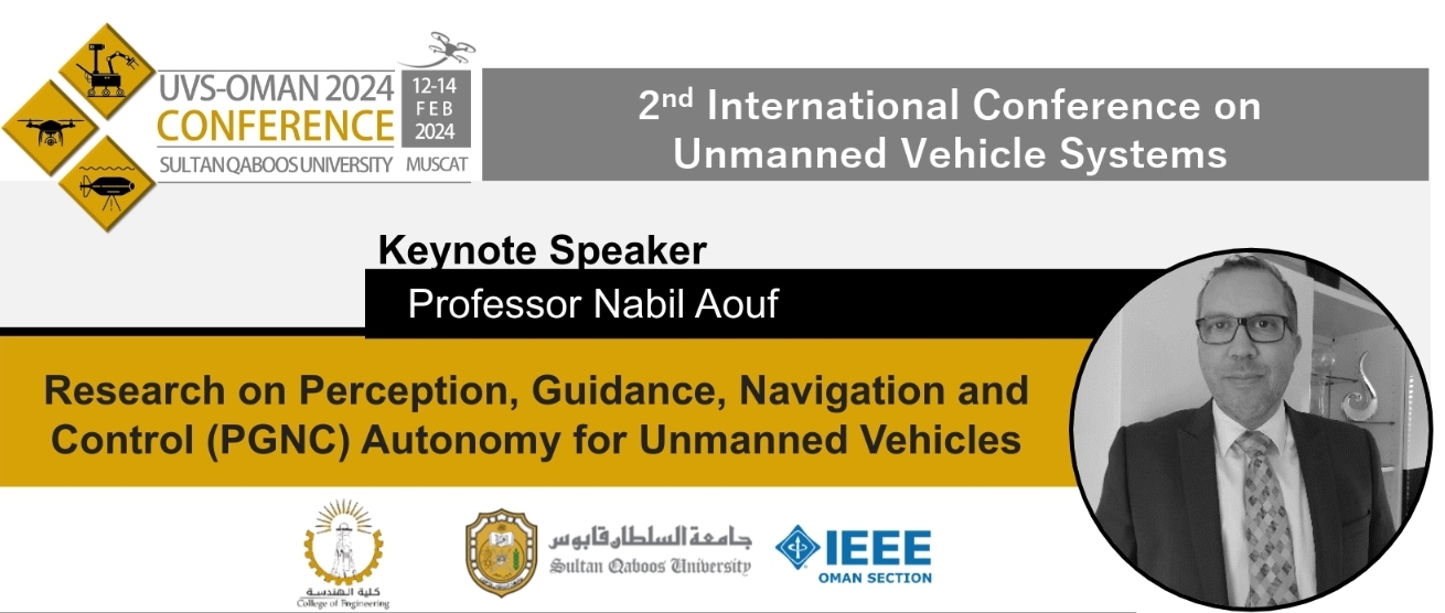
Title: Research on Perception, Guidance, Navigation and Control (PGNC) Autonomy for Unmanned Vehicles.
Abstract: This Keynote address will initially introduce Prof Nabil Aouf’s research expertise in the domain of Robotics, Autonomy and Machine Intelligence with applications to Aerospace, Space and Ground vehicles. Few of the developed concepts in autonomous perception/navigation systems, which are conducted on different platforms either Air, Ground, Space vehicles using multiple sensing modalities will then be explained. Perceptual sensors like cameras and other lidars providing rich scene information to those platforms are adopted to autonomously navigate and map their operation environments by means of AI based algorithms. Other research in autonomous guidance and control will also be provided and detailed using the latest deep learning concepts when adopted in normal unmanned vehicle’s operations and when these vehicles are subject to adversarial attacks.
Study cases, through demonstration videos, will be shown to illustrate how efficient the presented solutions are and how nationally and internationally they are recognised.
Bio: Prof. Nabil Aouf received his PhD from McGill University in 2002 at the Electrical and Computer Engineering Department. Currently, he is Professor of Autonomous Systems and Machine Intelligence at City University of London. He is the Director of the Autonomy of Systems Centre (ASC) and the co-Director of the London Space Institute (LSI) at City University of London. He also leads the Robotics, Autonomy and Machine Intelligence (RAMI) group and works very closely with industries and research organisations that have a strong heritage in autonomous systems and space research. He has authored over 220 high calibre peer reviewed journal and conference publications in his domains of interest (see below). He is an Associate Editor of 4 journals including being Senior Editor of the IEEE Transactions of Intelligent Vehicles.
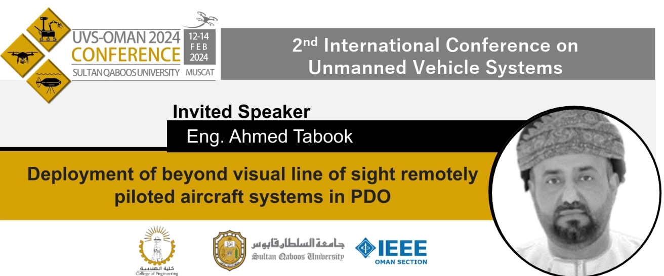
Title: Deployment of beyond visual line of sight remotely piloted aircraft systems in PDO.
Abstract: The deployment of autonomous BVLOS RPAS, coupled with advanced analytics, marks a transformative leap in the realm of automated inspections. This technology facilitates the comprehensive inspection of wells, pipelines, flowlines, and asset facilities across extensive operational areas. The incorporation of BVLOS RPAS technology stands as a pivotal enabler for PDO, empowering the organization to proactively address challenges in safety performance, enhance infrastructure surveys with greater efficiency, and significantly reduce environmental impact, costs, and exposure.
By adopting alternative methods for routine inspections and surveillance tasks over large areas, asset teams gain the strategic advantage of focusing on core activities to enhance production delivery. This transition promotes a more proactive approach to well-site and production management, concurrently curbing the extensive travel—measured in thousands of kilometers per month—undertaken by PDO staff and contractors across different fields.
Bio: Ahmed, is a seasoned professional with over 24 years of experience, currently serves as the Geomatics Discipline Lead and Corporate Technical Authority for Geomatics in Petroleum Development Oman (PDO).
He held various leadership roles in PDO and Brunei Shell in domains of survey operations, remote sensing, geospatial data management, digitalization and information management. Ahmed’s leadership acumen has been instrumental in shaping PDO’s geospatial capabilities. He spearheaded the introduction of remotely piloted aircraft visual line of sight systems in early 2010 and later the introduction and deployment of long-range remotely piloted aircraft beyond visual line of sight systems within the organization in late 2019. These advancements have revolutionized data acquisition and analysis, enhancing PDO’s operational efficiency and decision-making processes.
He is a member of the Shell Global Geomatics Discipline Leadership team and PDO’s corporate Data Governance Counsel. He previously served on the Sultan Qaboos University (SQU) Geography Steering Committee, Oman National Spatial Data Infrastructure Technical Executive Committee, and Shell GIS Technical Advisory Panel.
He holds a degree in Surveying and Mapping from University of Newcastle Upon Tyne (UK) and a master’s degree in business administration from the University of Hull (UK).
IEEE Xplore digital library
Accepted papers will be submitted for inclusion into IEEE Xplore.
Conference Call for Paper
Download call for paper. CFP
Main Topics
The range of targeted topics is very broad, but priority is given to subjects on real world applications; including: research, industry, business, and education. Based on this, prospective authors are invited to submit proposals for paper presentations, demonstrations, and poster contributions on any engineering topic relevant to UVS. These include but not limited to the following:
1. Guidance Navigation and Control of UVS
Guidance Methods
Navigation Algorithms
Autonomy
GIS and Mapping
Smart Sensing & Avoidance
AI Applications in GNC
4. Power in UVS
Power Management Systems
Energy Efficient UVS
Payloads
Renewable Energy Technology in UVS
2. Machine Vision in UVS
Vision Sensors
Sensors Fusion
Deep Learning & Image Processing
UVS Embedded Architectures
Open Source Software Applications
5. Networked UVS and Communications
Multi Drone System
Coordination & Cooperation
Communication Protocols
Communication Modules
3. Operations and Maintenance
Certification Standardization
Regulations & Environmental Challenges
Safety
Security
Reliability & Performance
Anti-drone Systems
6. Applications of UVS
Oil & Gas
Architectural Engineering
Disaster Relied
Tourism
Agriculture
Surveillance & Border Patrol
Cultural Heritage Preservation
Film Making
Power Systems
Inspection
Education Training